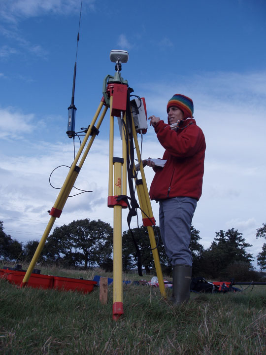
GPS Survey
Survey is carried out using
the latest survey technology: Leica GPS 530 and 1230 systems.
Data is collected using RTK technique and post-processed with Leica
Geo OfficeTM software achieving sub-centimetric
accuracy.
Souterrain is connected to SmartNet UK, a reference network around
the UK that provides GPS real-time
corrections with centimetric accuracy.
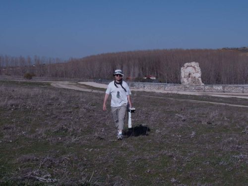
TST Survey
In
addition to GPS, Souterrain uses Leica Total Stations 800 and 1200
series for Historic Building Recording and surveys in wooded areas.
Geophysical Survey
Data is captured with a Geoscan Research®
FM36 fluxgate gradiometer
and sample trigger. Data is processed using Geoplot 3 software.